
Dartmouth Postal Directory Coverage
Dartmouth's postal directory begins with a basic distinction: postal service areas are not town boundaries. The verified local split is North Dartmouth and South Dartmouth, plus a separate limited-use Dartmouth designation that needs address-level confirmation. A ZIP can help narrow a property or a dated local-record request, but the town assessor, Registry of Deeds, and Town Clerk use their own municipal and parcel references.
| ZIP | Areas covered | Post office designation | Record-search note |
|---|---|---|---|
| 02747 | North Dartmouth and northern or central parts of town | North Dartmouth | Use the actual situs ZIP; a postal boundary is not a legal town line. |
| 02748 | South Dartmouth and coastal or southern parts, including Padanaram context | South Dartmouth | The same town uses 02747 or 02748, so a village name alone is not enough. |
| 02714 | Limited Dartmouth postal designation | Dartmouth PO Box or limited-use designation | Verify a USPS address result before treating it as a normal geographic residential area. |
The local research confirms the 02747 and 02748 North/South labels. It does not provide a complete delivery-point boundary table or verified station names. Treat 02714 as a verification question rather than a claim about ordinary home delivery.
North Dartmouth Postal Records 02747
North Dartmouth is the documented postal designation for 02747. Dartmouth's geography includes a broad land area and several named places, so a North Dartmouth label can be practical for mail and records searching without defining a separate government jurisdiction. When an address has this ZIP, compare the full postal form with the Vision card's site address and the town's parcel identifier.
A historical record can use a different place name altogether. A deed may refer to bounds or neighbors, while a combined directory may group Dartmouth with Acushnet and Westport. For a property near a municipal edge, the assessor's city field and the deed's legal description are more reliable for jurisdiction than a postal-directory label.
South Dartmouth Postal Records 02748
South Dartmouth is the documented designation for 02748, the postal context for coastal and southern parts of town, including Padanaram context. Padanaram is a village name, not a substitute for a precise property address. The same caution applies to Bliss Corner, Smith Mills, Russells Mills, and Hixville, which may be useful history or directory clues without determining a present ZIP.
Use the location wording exactly as the source records it. A historical directory's village or post-office label can help find a household entry. A current parcel card should supply the site address and site ZIP. For a deed search, use the owner, book and page, certificate, plan, or legal description rather than assuming a modern postal description was used when the instrument was recorded.
Note: A Dartmouth postal label can be useful for narrowing a search, but the parcel's situs field should control the property comparison.
Dartmouth Postal 02714 Verification
A state insurance ZIP list and postal references identify 02714 as Dartmouth, separately from 02747 North Dartmouth and 02748 South Dartmouth. That evidence supports a limited, possibly PO-box or special-use designation. It does not establish that every 02714 entry is a physical Dartmouth delivery address. The research did not locate a complete USPS-generated boundary table or a confirmed local post-office station record.
Use the live ZIP Lookup reached from the USPS postal service page to test the full address before filing or interpreting a ZIP-specific request. Keep the formatted result with the date checked. Then compare it with the local assessor's municipality and situs fields, especially near New Bedford, Westport, or Fall River.
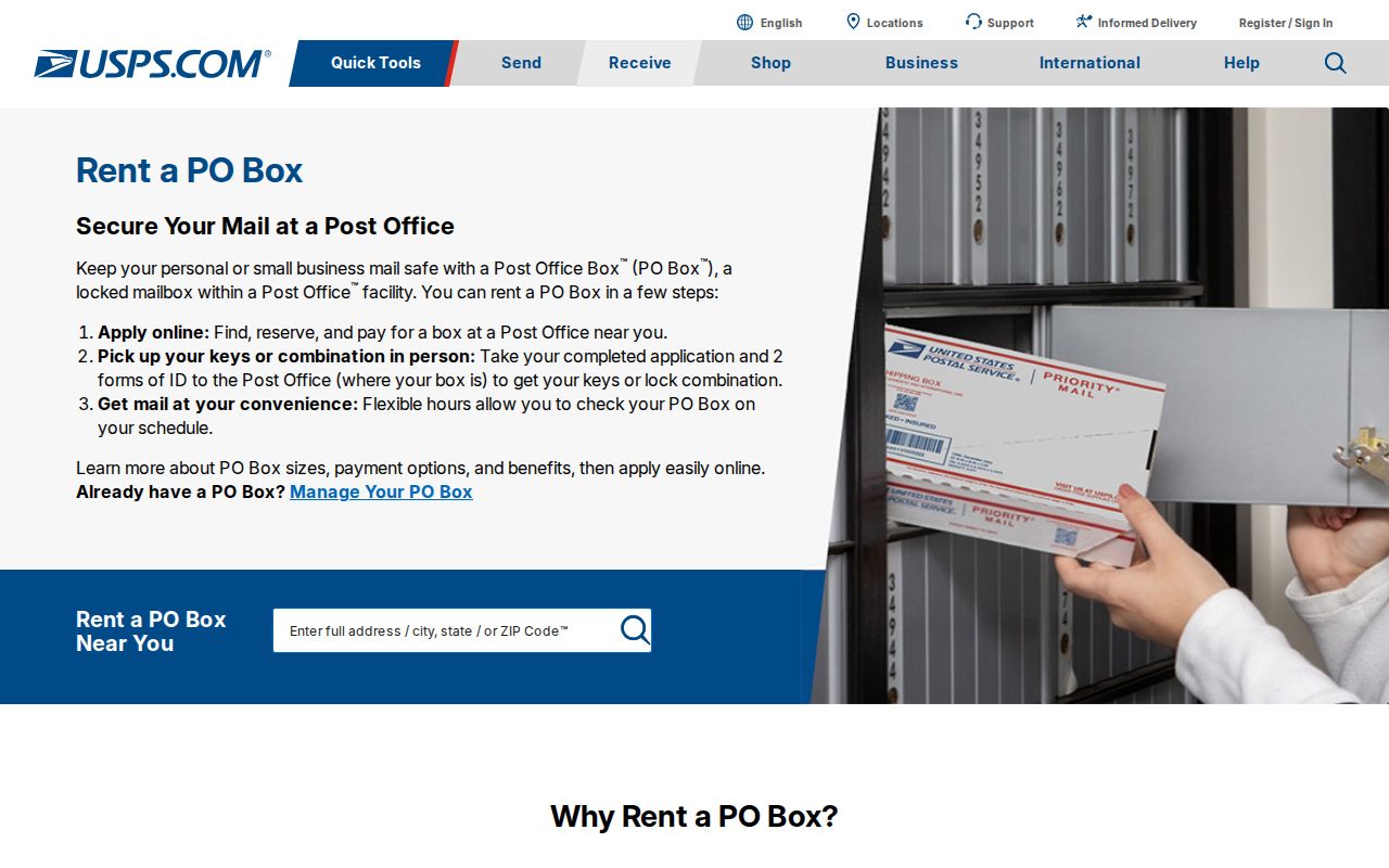
The USPS result verifies a postal address format. It does not decide town jurisdiction, parcel ownership, or the legal land boundary behind the address.
Find Dartmouth Residents by ZIP Code
A ZIP-focused search should begin with a verified address, then use only portals that actually support the needed field. Dartmouth Vision cards carry site ZIP and owner mailing ZIP, but those values have different meanings. MapGeo visibly prioritizes Address, Identifier, and Owner. Its public panel did not show a clearly labeled ZIP filter in the research, so do not promise a townwide ZIP query until the live advanced attributes or an approved download confirms one.
- Verify the full mailing address and ZIP with the USPS lookup, and save the formatted result and date checked.
- Look up the exact address in Dartmouth Vision and record both the site ZIP and the owner mailing ZIP with their labels.
- Use Dartmouth MapGeo to find the parcel by address, identifier, or owner, then inspect the selected record and parcel geometry.
- For voter information, use the state status form only for the person whose name, date of birth, and residential ZIP are known; request a dated municipal list if an existing public extract is needed.
- Use MassGIS as a statewide parcel cross-check when a ZIP field needs comparison, but return to the Registry for the authoritative deed boundary.
Once a ZIP is narrowed to a particular road, the Dartmouth street directory provides the address-by-address parcel and deed workflow. A postal field is a starting point, not a replacement for the street record.
Dartmouth Postal Voter Records
The Massachusetts voter-status form accepts a five-digit ZIP, but only for an individual checking a registration record. It requires all of the fields below and an agreement checkbox. It is not a ZIP-wide resident list and does not accept a street, precinct, or name-only browse. Dartmouth municipal voter or street-list requests should instead name the date, street or precinct, requested fields, and preferred format.
| Form field | Input | Role in the search |
|---|---|---|
| First name | Text | Identifies the individual voter. |
| Last name | Text | Used with the other identity fields. |
| Date of birth | Month, day, and year selectors | Required individual identifier. |
| Residential ZIP | Five digits | Matches the voter’s residential address for the status check. |
| Agreement checkbox | Checkbox | Must be accepted before the search control is used. |
Public municipal records can contain specified voter fields, but confidential voters, minors, phone and email, veteran status, and other protected categories are withheld. The statewide voter file is not a general public record, so a ZIP does not turn the individual form into a general directory.
Dartmouth Parcel ZIP Records
The Massachusetts Interactive Property Map is a useful second view when a local parcel display fails or a boundary needs comparison across towns. Its statewide schema includes a ZIP field as well as SITE_ADDR, OWNER1, owner-city and owner-ZIP fields, sale date and price, book and page, zoning, year built, building area, and units. That makes the ZIP field searchable as a data attribute at the statewide layer, rather than a promise about the Dartmouth MapGeo panel.
The state map itself warns that assessor parcel boundaries are not the authoritative legal boundary. Click a parcel, inspect its property information, use the abutter and measurement functions as research aids, and confirm an important line through the Southern District Registry deed and plan.
The Massachusetts Interactive Property Map supplies that statewide comparison layer.
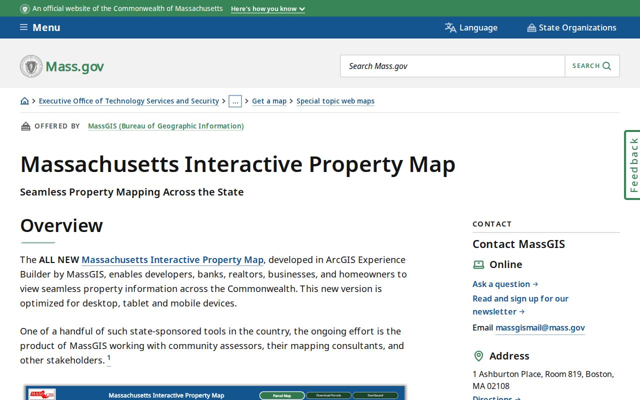
Comparing the local parcel card, MassGIS attributes, and USPS form reduces a common error: treating an owner mailing ZIP, postal city, and parcel location as the same field.
Dartmouth Postal Boundary Records
Postal boundaries do not equal Dartmouth town limits. An address outside the town can use a Dartmouth postal city or ZIP, and a Dartmouth parcel near New Bedford, Westport, or Fall River can use a neighboring postal name. The right comparison is the complete USPS-formatted address, the Vision city and situs fields, the town map, and, for land questions, the Registry description. Do not use a ZIP alone to decide municipal jurisdiction.
Boundary check. For a disputed Dartmouth location, retain the postal result and assessor record, then confirm the parcel description with the office that holds the deed or plan.
Historical ZIP continuity is even less certain. The research found no authoritative Dartmouth ZIP realignment year. Do not project today’s 02747 or 02748 onto a 1905 directory or an early deed. Preserve the historical source's own village, post-office, bounds, map edition, and date.
Dartmouth Postal Directory Terms
Postal terminology helps explain why two valid records may display different geographic labels. These terms identify mail-routing details; they do not replace a parcel ID, legal description, or municipal address field.
- ZIP code
- A five-digit Postal Service routing code associated with an address area or postal designation.
- ZIP+4
- An added four digits that narrow delivery routing within a five-digit ZIP, often to a small group of addresses.
- PO-box ZIP
- A ZIP used for post-office boxes or limited postal service, which may not describe a geographic residential area.
- Unique ZIP
- A ZIP assigned for a particular organization or delivery purpose rather than a broad neighborhood.
- Carrier route
- A mail-delivery sequence used by a carrier; it is not a town boundary or proof of residence.
Dartmouth ZIP Directory's $20 Street List
Dartmouth's annual census produces a local street-list layer that is more precise than a ZIP label when a lawful, dated household question needs local context. The Town's 2026 notice says the annual street list is available through the Clerk's office for $20. It also describes the relationship between census response and voter-list maintenance, which is why a list should always be read as a record for its particular year.
Use the Dartmouth 2026 Town Census information for the local request details before contacting the Clerk. Protected voters and minors remain outside ordinary public-list use, and a street list does not establish every resident at an address.
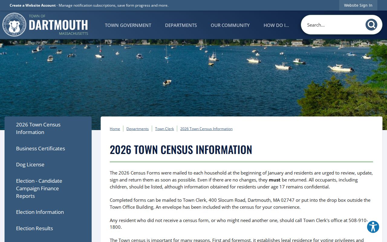
The annual list is a useful numbers-based local record, but it cannot resolve the postal-boundary question by itself. Pair it with the address, parcel, and date that match the inquiry.