
Dartmouth Block Record Sources
Records around a Dartmouth address work on different keys. MapGeo uses the selected parcel and map geometry. Assessor cards connect an owner of record, situs address, tax mailing address, value, exemption, and sale reference. Registry plans and deeds establish legal lots and transactions. The Town Clerk holds dated voter and street records subject to confidentiality rules. Permits and board files show public work, hearing, and application context by address. None of these sources is a complete household roll, so each must be read for the narrower fact it actually records.
| Source | What it shows about a block | Access |
|---|---|---|
| MapGeo Parcel and Abutters | Adjacent parcels, enabled owner attributes, buffer geometry, and download controls | Free public map with CSV, labels, and report controls |
| MassGIS Property Map | Statewide parcel comparison, popups, abutters, measures, and parcel table | Free state map; deeds control legal boundaries |
| Vision assessor cards | Owner mailing and situs addresses, assessed values, exemptions, and sale references | Vision portal or Assessor office |
| Registry plans and deeds | Legal lots, easements, subdivision information, ownership history | Southern District Registry and office copy channel |
| Town voter or street list | Registered or street-listed names and status for an existing local record | Town Clerk request, with cost and redactions |
| Permits and boards | Public applications, hearing material, abutters, approvals, and code context | Town portal, document center, or RAO channel |
| Community groups | Public meeting or contact channels | Membership lists are not verified public rolls |
The table starts a block inquiry with the map and parcel record, not with assumptions about who occupies a property. Where a question grows into a whole named-street history, the separate Dartmouth street directory route is the more complete address-by-address chain.
Map a Dartmouth Parcel Block
The focal-parcel method keeps a block search narrow. Open the Dartmouth MapGeo viewer, find the address, identifier, or owner, and select the relevant parcel. The map display is a research tool, not a legal survey. Before copying a name or a boundary, compare the current card, legal description, and deed or plan when precision matters. A tax mailing address may lead to a trust, business office, agent, or other contact point rather than the physical property.
- Search the focal Dartmouth address, identifier, or owner in MapGeo, then select the parcel shown on the map.
- Open Abutters, enter a distance in feet, and use Find to display the highlighted parcels and buffer. Adjust the selected result set if the displayed block does not fit the research question.
- Download the available CSV, mailing labels, or abutters report only as a dated working list. Record the map date and the distance used.
- Open the individual assessor card for each relevant parcel. Keep owner, situs, mailing, deed, and sale references in separate columns.
- Use Registry plans or deeds for legal boundaries and the Town Clerk for an existing dated list when an official record is needed.
That process runs from address to parcel, surrounding parcels, and owner-of-record fields. It does not establish present occupancy, personal contact details, or the full membership of every property.
Dartmouth MapGeo Buffer Method
MapGeo's Abutters tool is Dartmouth's most direct block feature. After selecting a parcel, set the distance in feet and use the result controls to inspect the red highlighted parcels and purple buffer. The viewer also supports Address, Identifier, and Owner quick searches, spatial line, circle, and polygon filters, parcel selection, themes, print, share, and download tools. MapGeo help says a result list can be edited and saved. Treat those controls as a way to make a reproducible research view, not as a statement of title or current occupancy.
The MapGeo 100-foot abutter view is the source for the demonstrated distance-buffer interface.
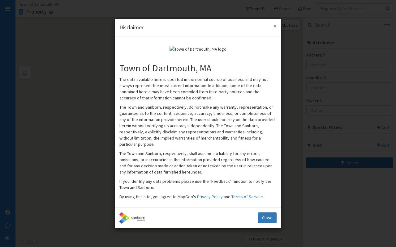
The shown buffer is an example of a documented MapGeo query. A different focal address or distance can produce a different, valid set of parcels, so preserve the settings with any exported result.
If the local view fails or an edge parcel needs comparison, the Massachusetts Interactive Property Map provides a statewide cross-check. Its property popup, Find Abutters option, parcel table, and distance or area measures are useful comparison tools, while deeds remain the legal boundary source.
Dartmouth Assessor Block Cards
Assessor cards add the fields that a map cannot fully explain. Dartmouth Vision records can show the owner of record, tax mailing address, parcel situs, identifier, assessed values, property characteristics, sale references, and often a map link. Dartmouth reports ownership updates monthly beginning in October 2020, while the landing notice's values are stated as of January 1, 2020. Read the valuation year and the individual card's as-of date before comparing entries across a block.
Use the Dartmouth Vision property search for the current card. Its address, owner, map-lot-block, and street-list modes can help locate a parcel. Owner of record is a property relationship. The situs address is where the parcel lies, while the mailing address is where the tax bill goes. Neither by itself establishes who lives at the location.
Dartmouth Voter List Boundaries
Block-level voter visibility comes from a local record request, not the state self-status form. The Secretary's form requires first name, last name, date of birth, a five-digit residential ZIP, and an agreement checkbox. It is intended for an individual to check their own status and cannot search a street or radius. For an existing Dartmouth list, tell the Town Clerk whether the request is for a paper street list, electronic voter file, registration form, ballot application, or voting history. Include the date, precinct or street, needed fields, and requested format.
Local public voter information can include name, address, party or designation, date of birth, active or inactive status, voter ID, registration date, inactivity date, elections voted, previous changes, and mailing address. Confidential voters, minors, phone and email, veteran status, and permanent-absentee status are not supplied in public files. The statewide file is licensed to qualifying political users and is not a general public record. Use the Massachusetts voter-status form only for the individual function it provides.
Dartmouth Neighbor Records by the Numbers
Dartmouth's 2026 census notice says that the annual street list is available at the Clerk's office for $20. A 2025 annual-report snippet lists a reported precinct-table total of 22,896, although the table header and date should be checked before describing that figure as current. The larger point is list maintenance. After two years without a returned census, a voter can become inactive and may later be removed. The annual census does not itself register a person to vote.
Those numbers give a local list a date and a maintenance context. They do not measure every person around an address. Preserve the particular list year, request date, and source type when comparing a block over time.
Dartmouth Neighbor Permits and Hearings
Permits and board files supply block context when the question is about a public project, hearing, or property change. Dartmouth materials point to keyword and property-address searching through the online permit system. The underlying files may contain application date, applicant or owner, address, work type, plans, inspections, hearings, abutters, approvals, and enforcement actions. Exact ViewPoint or OpenGov search-field details, historical start year, and result limits were not verified in the research, so do not promise that every older address file can be found online.
The Town's online-services page is the source linking property, GIS, permit, map, and annual-report channels.
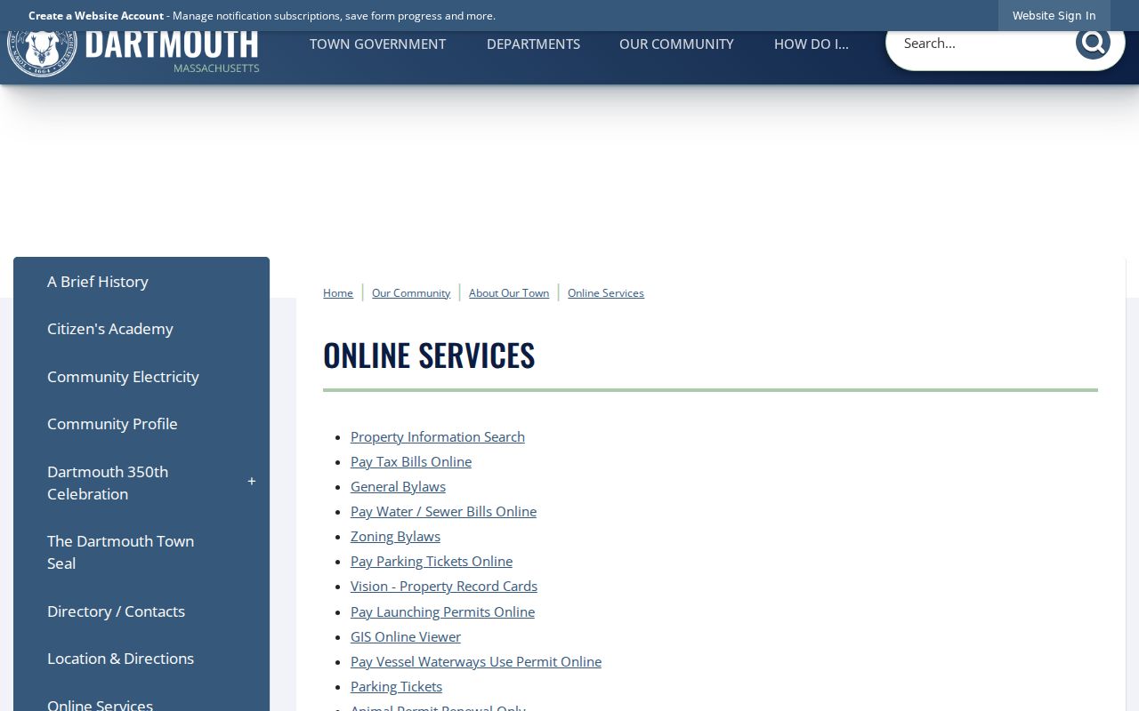
When the portal stops short, request a permit index or inspection through the Building Department or the Records Access Officer. A permit records a public process and should not be used to infer private household information.
Dartmouth Civic Group Contacts
Dartmouth's researched community layer offers public contact and meeting leads, not a verified resident roster. Official Town material recognizes neighborhood and community-based groups, and the Town agenda center lists several civic bodies. The private Bretton Woods Property Owners Association has a public site that refers to Forest Cottages, Rosebrook, and Mt. sub-associations. The Enclave at the Reservoir Homeowners Association Trust appears in the 2023 Open Space and Recreation Plan as an ownership or OSRD clue. Neither finding confirms an open membership directory.
| Researched organization or group | Documented public context | Appropriate use |
|---|---|---|
| Bretton Woods Property Owners Association | Public site references Forest Cottages, Rosebrook, and Mt. sub-associations | Use published association contact information; do not assume member lists are open |
| Enclave at the Reservoir Homeowners Association Trust | Appears in the 2023 Open Space and Recreation Plan as an ownership or OSRD entry | Treat as a land-use clue, not a household directory |
| Dartmouth High School Alumni Association | Appears among Town agenda-center records and meetings | Use public alumni or school channels for dated reunion material |
| Dartmouth Democratic and Republican Town Committees | Listed civic bodies in the Town agenda center | Use public meeting channels, not member profiling |
Because no official Town-maintained inventory of all associations or public member directories was located, a request should begin with a public contact channel and accept the group's own membership rules.
Dartmouth Community Place Context
Dartmouth's village names can help read a block without pretending they are legal parcel boundaries. Padanaram, Bliss Corner, Smith Mills, Russells Mills, and Hixville appear in Town history and heritage material. The Dartmouth Heritage Trail also connects Southworth Library, Round Hill, Lincoln Park, Paskamansett, Bakerville, and Apponagansett with those familiar places. Older deeds can instead use farms, necks, mills, bounds, proprietors, and neighboring owners. Current tax maps and the parcel viewer are the practical bridge between an older place description and a modern address.
The Town's original Dartmouth purchase dates to 1652 and the town was established in 1664. Research did not locate an official town-wide street-renumbering history or a verified readdressing year. When a map, deed, and present address conflict, compare road-acceptance records, subdivision or ANR plans, historic maps, and Registry legal descriptions rather than inventing a conversion.
Official and Commercial Neighbor Tools
Official records have a known custodian, source date, scope, and method for correcting a problem. Commercial neighbor-search categories can combine public filings, marketing information, historic addresses, and user-provided material. That can make a result broad but also stale, incomplete, or wrong for a same-name person. Use a Dartmouth parcel, Town Clerk record, Registry document, or state map for the precise fact it documents, and keep commercial-category results out of the verification chain.
| Official record route | Commercial neighbor-search category |
|---|---|
| Identifies a custodian, source date, record type, and access limit | May combine sources with different dates and unknown correction history |
| Can be checked against the filing office, deed, parcel card, or Clerk record | Can confuse same-name people or repeat an older address |
| Supports a narrow, documented fact | Does not replace an official Dartmouth record |
Dartmouth Neighbor Lookup Privacy Limits
Public block records have clear limits. Protected voters and Address Confidentiality Program participants may have a confidential number or no public name-and-address row. Utility, delivery, school-student, nonpublic phone, and nonpublic email data are not an ordinary block resource. Court matters can be sealed or impounded. A parcel's owner-of-record field does not identify every person connected with the address. If a public record shows a missing or inconsistent field, preserve that boundary rather than trying to reconstruct someone from indirect sources.
Massachusetts privacy rules include public-record exemptions, vital-record restrictions, election confidentiality rules, the federal Driver's Privacy Protection Act, and the Address Confidentiality Program under M.G.L. c. 9A and 950 CMR 130.00. A targeted request should ask for an existing record, respect redactions, and accept a lawful denial or a redacted response.
Lawful use. Use Dartmouth block records for civic context, family history, property research, or personal safety awareness. Do not use a map, list, or contact channel to stalk, harass, intimidate, or harm anyone.