
Walk a Dartmouth Street by Address
A Dartmouth address search is a chain of records, not a single list of people. Start with the address in the Dartmouth Vision property database or MapGeo. The assessment card identifies the owner of record, the situs address, the parcel identifier, and a deed reference. That owner name opens the land trail at the Southern District Registry of Deeds. Household evidence is a separate question: Dartmouth's Town Clerk holds annual street lists and municipal voter records, while older directories can connect a house number to an earlier household.
Keep each result tied to its date and purpose. A deed establishes parties to a land transaction. An assessment card identifies a tax owner. A dated street list may show a listed household, subject to protected records and list rules. Those facts can support a careful family-history, estate, or neighborhood inquiry, but none should be treated as a promise that every person at an address is public.
- Enter the street address in Vision or Dartmouth MapGeo and record the site address, owner, mailing address, parcel ID, sale reference, and current valuation year.
- Use MapGeo to inspect nearby parcels or a street segment, then note each selected parcel's identifier and legal plan clues.
- Follow the book, page, certificate, or sale reference into the Southern District Registry record search; read the current deed before assuming an address appears in the index.
- For a current household layer, request the appropriate dated municipal street or voter list from the Dartmouth Town Clerk. The state web form is only an individual status check, not a street browse.
- For earlier occupants, consult combined Dartmouth-area directories and a reverse, or criss-cross, listing where available through local and state library holdings.
Note: A mailing address can help locate a tax owner, but it is not proof that the owner occupies the Dartmouth parcel.
Dartmouth Street Directory Record Coverage
Each source is keyed differently, which is why a street-by-street search works best when the facts are carried forward rather than guessed. The assessor and permit systems are usually address keyed. Registry records are party and legal-description keyed. GIS follows parcel geometry, while town street lists and historic directories provide dated address or household context. Use the source that matches the question, then preserve its as-of date.
| Address record | Dartmouth keeper | Street evidence | Access route |
|---|---|---|---|
| Assessment card | Assessor / Vision | Owner, mailing and situs address, value, sale reference, property attributes | Free web card; assessor office or Records Access Officer |
| GIS parcel | Dartmouth MapGeo | Parcel geometry, address or identifier, owner query, themes and abutters | Free public viewer with a data disclaimer |
| Deed and plan index | Bristol Southern District Registry | Grantor, grantee, legal description, book/page or certificate, liens and plans | Search and old-index browse; certified copies cost $1 per page |
| Street or voter list | Dartmouth Town Clerk / registrars | Listed names, address, precinct or status when public | Municipal request; protected and confidential records are excluded |
| Permit or board file | Building, Health, Planning or DPW | Address, applicant, work, dates, hearings, plans and abutters | Online system where available, then departmental request |
| Historical directory | Library, State Library and NARA holdings | Address-to-occupant and business context in selected combined-town volumes | Reading room, scans, interlibrary loan or licensed databases |
The parcel ID joins modern mapping and assessment work. A plan, lot, book and page can then keep the search stable when an old document uses a road, farm, mill, neck, or neighboring owner instead of a current house number.
Dartmouth MapGeo Address Fields
The Dartmouth MapGeo property viewer is the strongest local tool for seeing a run of parcels together. Its Quick Search can work across owner, address, and identifier. The advanced panel supplies separate fields, and the map can be restricted with a line, circle, or polygon. Search results may be sorted, selected, printed, shared, or downloaded where the live viewer enables those controls.
| MapGeo field | Type | Required | Street-search use |
|---|---|---|---|
| Address | Text/autocomplete | No | Quick Search may search owner, address, or identifier; the advanced Address field is explicit. |
| Identifier | Text | No | Uses the Dartmouth parcel identifier, map-lot, or account-like key. |
| Owner | Text | No | Allows owner-name searching; try variants and observe exact or partial results. |
| Spatial filter | Line, circle, or polygon | No | Restricts a result set to a mapped street segment or area. |
| Sort | Dropdown | No | Add an attribute and select ascending or descending order. |
| Distance (Abutters) | Number in feet | No | Finds selected items within a chosen radius; the resulting list can be edited or downloaded. |
See the live MapGeo property viewer before relying on a control or layer, because the Town warns that map data can change and can include third-party compilation.
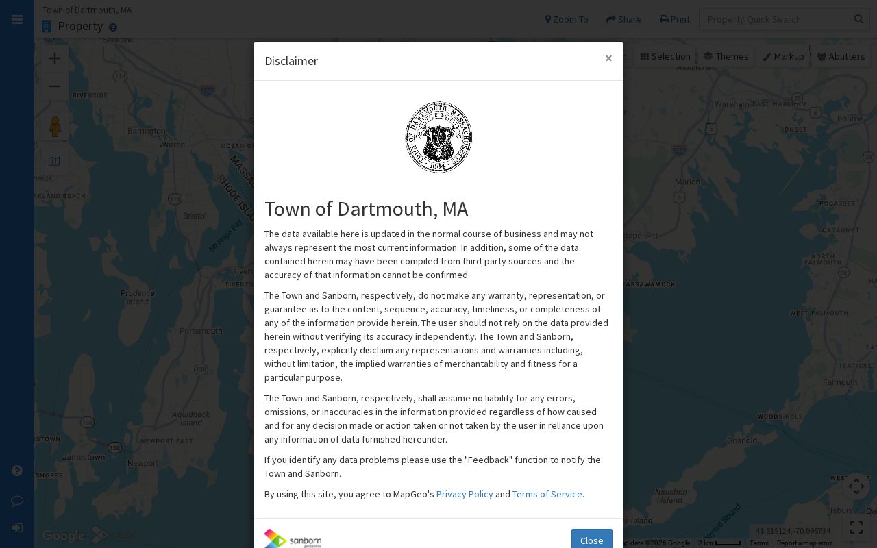
The viewer is useful for organizing a street search, but parcel lines and selected attributes remain research aids. The deed and plan held by the Registry control the legal land description.
Dartmouth Vision Cards by Street
Vision supports address or site-location, owner, map/lot/block/unit or identifier searches, plus street-list browsing after entering the database. Its ownership information is updated monthly beginning in October 2020. The landing notice also states values as of January 1, 2020, so the valuation year and owner-as-of date on the individual card matter more than a general landing-page notice.
A Dartmouth card may show site address, owner and co-owner, owner mailing address, PID, account, or MBLU, land, improvement and total value, market or appraisal value, valuation year, sale price and date, book/page or certificate, instrument, ownership history, building count, year built, area, units, lot size, use, zoning, and exemptions. Capture only the fields needed to connect the parcel to the next official record.
Note: The owner mailing ZIP and the parcel's site ZIP answer different questions, so record each with its field label.
Dartmouth Street Directory Deed Chains
For ownership history, begin with the card's book/page, certificate, sale reference, or current owner. At the Registry, locate the purchase deed and read the grantor, legal description, plan or lot, and prior reference. Next search the seller as a grantee to find that person's acquisition. Continue backward, using both roles because a party can appear as buyer in one transaction and seller in the next.
The Registry warns that spacing, prefixes, compound names, and spelling variants affect name searches. It also says that online encumbrance lists are reference tools and can omit a back-indexed document visible on a book encumbrance sheet. When the chain matters, preserve the instrument reference and order an official copy directly from the Registry rather than treating a web list as complete.
The Registry's record-search instructions show the current path into the Mass Search System and copy-order information.
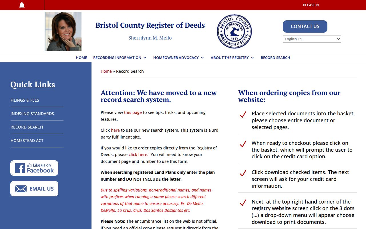
Registry images can take longer to appear while the new search software is implemented. The office, old-index images, and certified-copy process remain useful fallbacks when a current screen is incomplete.
Dartmouth Streets in Historic Deed Indices
The Southern District's old-index page supplies a separate browse path for land before the modern search system. It has blocks for 1690-1837, 1837-1885, 1886-1902, 1903-1917, 1918-1932, 1933-1957, and later grantor runs, with later grantee blocks reaching 1977. These are index images, not a modern address database.
Old Dartmouth deeds often identify land by a proprietor, farm, neck, mill, bounds, lot, plan, or adjacent owner. Search both the grantor and grantee sides, then compare the legal description with current parcel geometry. The Dartmouth Historical and Arts Society also describes this grantor-grantee method and early Bristol County deed material, but the Registry provides the official recording trail.
Open the historic grantor and grantee indices when a current-book reference reaches the older image runs.
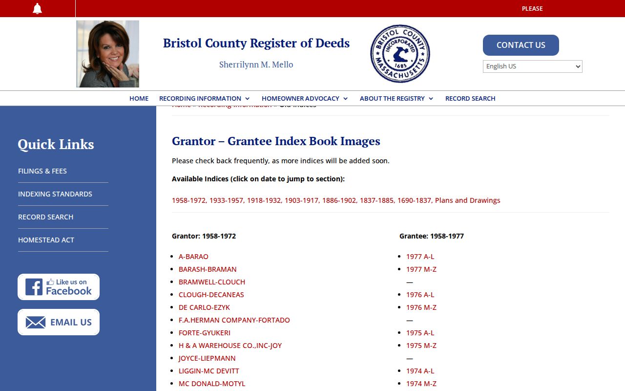
This deep index is a local records story: a present parcel can lead back through official image blocks, even when its early deed never uses today's street text.
Dartmouth Street List's $20 Snapshot
The state voter-status form asks for first name, last name, date of birth, five-digit residential ZIP, and an agreement checkbox. It is intended for an individual to check that person's registration status. It is not a name-only, street-wide, or bulk voter directory.
For a dated local list, ask the Dartmouth Town Clerk or Records Access Officer for the particular annual street list, street, precinct, date range, fields, and format needed. Public voter information can include name, address, party or designation, date of birth, active or inactive status, voter ID, registration and inactivity dates, voting participation, and prior changes. Protected voters, minors, phone numbers, email, and other confidential fields are excluded. Participation never reveals a ballot choice.
Dartmouth's 2026 census notice says the annual street list is available through the Clerk's office for $20. It also explains that two consecutive years of census nonresponse can make a voter inactive or lead to removal from the rolls. That makes the annual list a dated snapshot, not a permanent household roster.
Dartmouth Street Permit Files
Permit and code files add time and project context to a street search. Dartmouth materials indicate keyword and property-address searching through the online permit system. A file can identify an address, applicant or owner, work type, application and inspection dates, plans, hearings, abutters, decisions, and enforcement actions. An applicant may be a contractor or other representative, so the name should not be substituted for the parcel owner.
The research did not verify the exact ViewPoint or OpenGov search fields, historical start year, or result limit. When an online result stops short, request an address-specific permit index or an inspection from the Building Department Records Access Officer. A narrow request is more likely to identify the relevant record without assuming the portal is a complete archive.
Dartmouth Village Names in Street Records
Dartmouth is a large coastal and rural town rather than a single uniform street grid. North Dartmouth, South Dartmouth, Padanaram, Bliss Corner, Smith Mills, Russells Mills, and Hixville can appear as village or postal context. A historical directory may use one of those names while a modern Vision card uses a street address. Match the village label with a map, parcel, or legal description before treating it as a municipal boundary.
No official Dartmouth-wide renumbering or renamed-street year was located. That is important: do not invent a conversion date. Compare Town Clerk road acceptance or subdivision records, historic maps from the Dartmouth Historical and Arts Society, tax maps, and Registry descriptions when a number or road name no longer lines up. A legal lot or plan is often more durable than the address text.
Dartmouth Address Research Terms
Several record labels are easy to confuse. Reading them correctly helps keep an owner trail separate from an occupant trail and keeps a current address from being forced onto an older land description.
- Parcel
- A defined piece of land shown in assessment and GIS records, usually tied to an identifier rather than just a house number.
- Situs address
- The physical location of the parcel. It differs from the owner's mailing address, where a tax bill is sent.
- Plat or plan
- A recorded map or subdivision drawing that identifies lots, roads, measurements, and related land references.
- Criss-cross directory
- A reverse directory arranged by street and house number, useful for finding a historical listed occupant from an address.
Selected combined Dartmouth, Acushnet, and Westport historical volumes are held through library and archival collections. For the directory years and how to read them, use the Dartmouth city directory collections rather than treating a single old listing as current evidence.
Dartmouth Address Privacy Limits
An address search cannot reveal every person connected to a home. Renters and other household members may be absent from public property records. Utility and delivery-customer information, school-student information, private phone and email data, sealed or impounded files, and protected voter information are not ordinary address-search results. A property owner, a deed party, and a registered voter each describe different relationships to an address.
Lawful use. Dartmouth address records support personal, civic, family-history, and property research. Do not use any record to stalk, harass, intimidate, or harm a person; confirm important facts with the office that keeps the record.
For a request that needs a non-posted municipal record, Dartmouth's Public Records Access Policy identifies Records Access Officers and the available request channels. Massachusetts Public Records Law, M.G.L. c. 66, § 10, generally calls for a written response within 10 business days, subject to the statute's exemptions and procedures.